
Navigation apps barely mention it
Your navigation app will route you fine, but it rarely says clearly where the measured stretch starts and ends — and almost never shows the average you are carrying through it.
Available for iPhone
Paceway is a light driving companion for iPhone. It runs behind Google Maps, Waze, or Apple Maps and speaks when you approach an average-speed enforcement section, when the measured stretch begins, and what your average was when it ended.
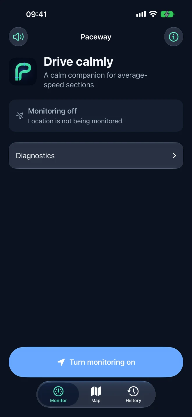
Status
Paceway is available on the App Store.
Download Paceway on your iPhone and let it run quietly behind the navigation app you already use.
 Free. No ads, subscriptions, or in-app purchases.
01 · The problem
An average-speed enforcement section does not take one photo at one point. It times you between a start gate and an end gate and works out your average across the whole stretch. Easing off near the end does not undo what happened earlier — and a speedometer never shows an average.
Your navigation app will route you fine, but it rarely says clearly where the measured stretch starts and ends — and almost never shows the average you are carrying through it.
A section is enforced in one direction on one carriageway. Paceway treats every direction as its own record, so driving the other side of the road never triggers an alert.
Keep the measured average at or below the posted limit. Nothing more — and nothing less.
02 · How it works
Turn monitoring on, switch to your navigation app, and forget Paceway is there. It speaks exactly when your situation changes, and not once more.
Average-speed section in 500 metres. Limit 120.
One alert, early enough to settle your speed without braking hard.
Measurement started. Limit 120.
A local measurement begins and a Live Activity appears on the Lock Screen.
Measurement ended. Average 114.
The Live Activity ends, the result goes to your history, and no GPS trail is kept anywhere.
The anti-fatigue rule: approach once, entry once, and exit once.
03 · Alongside your navigation
The app you already like keeps guiding you. Paceway only occupies the surfaces you can glance at without leaving your route.
Alerts duck over music and navigation, in Polish or English following your system language. That is the primary channel — everything else is optional.
The Lock Screen and Dynamic Island show the average, the limit, and the remaining distance. One activity per drive, no flashing.
Only the result is stored: section, time, length, and average. Never the path you drove. You can delete the whole history with one button.
Measuring
A4 Krzyżowa — towards Wrocław
114km/h
04 · CarPlay
The part that matters in CarPlay needs no extra screen at all: alerts play through the car speakers, and the system can place the Live Activity on the CarPlay Dashboard even while navigation owns the main display.
Apple granted Paceway the Driving Task capability, so the app also has its own deliberately small CarPlay interface: a monitoring switch, current speed, estimated average, the limit, and remaining distance. It never pretends to be navigation.
The CarPlay interface is supplementary. Spoken alerts and the Live Activity work regardless of which app owns the car screen.
05 · Privacy
Matching and calculations happen on the device. The app has no backend, analytics, or ads; the optional map uses Apple MapKit.
No sign-in, no e-mail, no profile. Nothing to create and nothing to delete.
Section matching and average calculation happen on the device.
No tracking SDKs and no events carrying coordinates.
History keeps the result of a drive, not the path you took.
A CSV of your history is produced only when you explicitly ask for one.
The section catalog ships inside the app. Monitoring does not need a signal.
06 · Safety
This is a speed-awareness assistant, not a tool for defeating enforcement. There is no “how much can I make up” calculator, no countdown, no maximum-speed-without-a-ticket readout. Those features will not be built — not because they are hard, but because they contradict the point of the app.
Road signs always take precedence. The average Paceway shows is the app’s estimate, not the CANARD system’s calculation.
07 · Data
The catalog is built from the official CANARD/GITD device map, and road geometry comes from OpenStreetMap. A section whose direction cannot be confirmed still appears in the app, but it never raises an alert.
226
sections in the catalog
from the CANARD/GITD source
153
active directions
per the source status
165
monitored directions
with reviewed geometry
29
reference-only directions
awaiting direction evidence
Pick a section on the map to see its details.
Drawn from the same dataset the app bundles — no third-party basemap, so opening this page sends your location nowhere. Road geometry: © OpenStreetMap contributors, ODbL 1.0.
An alert on the wrong carriageway teaches a driver to distrust every alert. A direction is only activated once road geometry or a real drive confirms it.
An automated job fetches the source every week and opens a change proposal for review. Nothing reaches the app without someone reading the diff.
Section data: CANARD/GITD. Road geometry: © OpenStreetMap contributors, ODbL 1.0. Paceway is not an official GITD or CANARD product.
Dataset version behind this page: 2026.08.12.1 · 13 August 2026
08 · Craft
No third-party dependencies and no map SDK. The matching engine is pure Swift, tested without a car.
Glass is the functional layer: navigation and controls. The average and the warnings stay on solid, legible surfaces.
The palette was designed for night driving and bright sun; every text and status pairing clears WCAG AA.
Dynamic Type through Accessibility XXXL, VoiceOver, Reduce Motion, Increase Contrast, and colour never used alone.
Interface, speech, Live Activity, permissions, and store copy — both languages from day one.
Recorded drives are replayed in tests, so a change in matching shows up before anyone drives out.
09 · Questions
No, and it is not meant to. Paceway has no routing, no destination search, and no turn-by-turn guidance. It is designed to sit beside the app you already use.
No. Turn monitoring on and switch to your navigation app. Spoken alerts and the Live Activity keep working in the background.
Yes. The section catalog ships with the app and matching happens locally. A connection is only useful for updating the catalog.
The catalog holds every section known to the source, but automatic alerts only cover directions whose road geometry has been reviewed. The rest appear on the map for reference.
No. It is an estimate from your iPhone’s GPS. Treat it as guidance, not as a reading from the enforcement device. Road signs take precedence.
For tunnel sections the average is estimated from elapsed time and the official section length, so the result stays meaningful without a signal.
It is a personal project, not a business. There are no ads, no subscriptions, and no in-app purchases.
None is planned. Paceway leans hard on what iOS 26 provides: Live Activities, CarPlay, and modern background location.
Download Paceway on your iPhone. No account, subscription, or permanent internet connection required.